What’s the difference between a site survey and a site plan?
In the construction and civil engineering industries, there’s a lot of planning that goes into a project before physical work begins. In fact, the planning stage is perhaps the most important part of a project, because it determines how the rest of the project will go.
When working on big projects, whether it’s the development of a housing estate or the creation of a brand-new road, there are certain documents that have to be pulled together – including site surveys and site plans.
But what’s the difference between the two? And why are they both needed?
Site surveys
Site surveys are used to help guide decisions about a project from a design, layout and construction point of view. Without a site survey, there is very little chance of the project being successful or cost-effective.
The person conducting a site survey will inspect the location and gather information that is then used to design, estimate and plan the initial phases of the project.
They will look at things such as any existing structures on the land, whether the terrain is suitable, what the soil type is, and whether there is any existing drainage – just to mention a few.
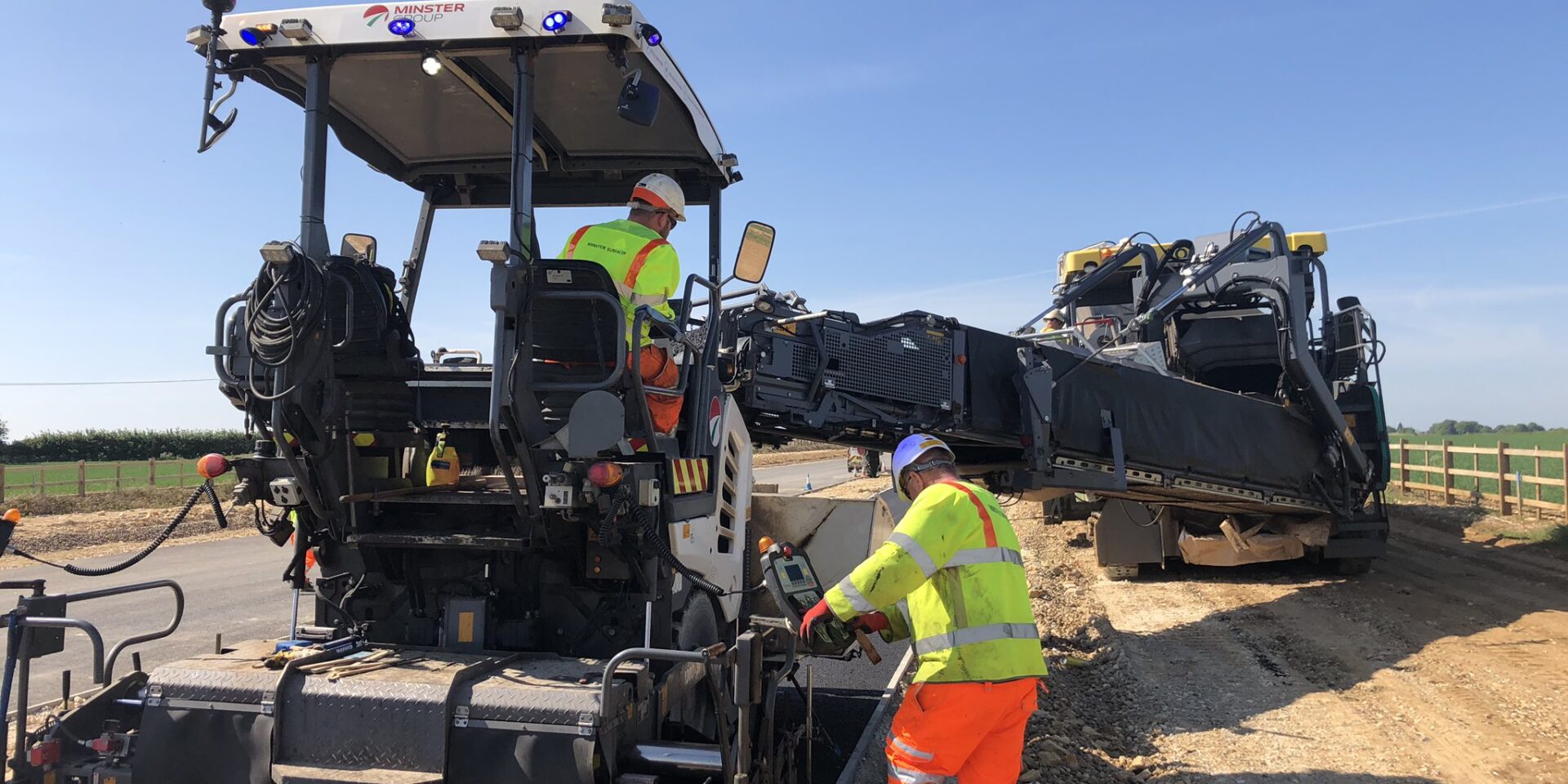
When it comes to road surfacing, site surveys are vital because they allow us to make sure the new infrastructure will be safe and fit for purpose. What’s more, they give legal requirements that civil engineers have to abide by. For surfacing crews, site surveys act like a bible, giving clear guidance that everyone working on the project has to follow.
Site plans
A site plan – sometimes called a plot plan or construction blueprint – is almost like a detailed map of the land the project is going to be built on. It shows the full extent of the site including things like property lines, structural elements, existing roads, landscape features and fencing lines.
By creating a site plan before the project begins construction, people like contractors, project managers and project owners are able to analyse the site and create a plan of action.
Site plans also help to show any constraints the site might have, so that appropriate outcomes can be achieved. For example, the project will have to meet access, shelter, privacy, land-use zoning, drainage, security and circulation needs, so the plan will influence actions to make sure this happens.
Site survey examples
There are lots of different types of site survey techniques, especially when it comes to laying a new road surface.
These include:
- Land surveys
- Terrain mapping
- Volumetric surveys
- Engineering surveys
- Grade and camber surveys
- Materials stockpile surveys
At Minster, we use TopCon SmoothRide in our site surveys. This is a vehicle-mounted 3D laser scanning technology which measures roads in normal traffic conditions, without closures. By doing this in the planning stages, we’re able to improve resource efficiency and reduce waste by eliminating guesswork.
Site plan examples
Site plans differ depending on the size and complexity of the project and this also influences the scale of the plan.
They’re usually at a scale of 1:500 or 1:200 but, for very small projects, larger scales may be used. Similarly, smaller scales – or even several drawings – may be used for larger projects.
What’s more, site plans can either be 2D or 3D. A 2D site plan will give you a clear overview of the layout of the site and can be a simple black and white diagram, or a colour-coded map that shows different features like grass or paved areas.
On the other hand, a 3D site plan will make it easier to understand and visualise what the site actually looks like including structures, materials and plantings.
If you’d like to hear more about our work, including how we use site surveys and site plans, then we’d love for you to get in touch.

